
"Col Montjoie" from "Les Pugnes" (8)
Hard
2h
3.8km
+582m
-18m
Description
[Saint François Longchamp area]
Red level (medium) itinerary. 3,8km and around 2h long.
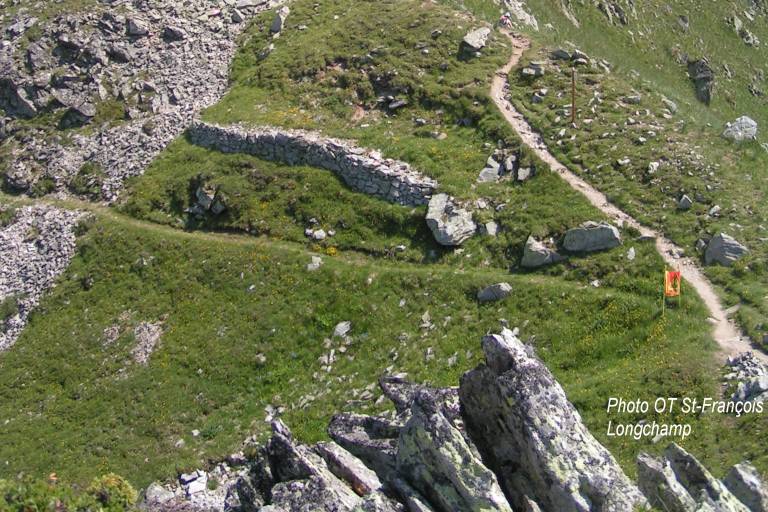
Starting point from the «Pérelles». Take the path going up on the left of the technical services building. Go by the water treatment plant and then take the path going up straight ahead. Bypass the «Crête Maxet» going bellow it. Arrived at the intersection of the «Mère de l’eau», let the track on your left to take the path going up on the right. At the intersection of the Crête Maxet, take the track arriving from the Lauzière chairlift. Turn left on it, towards the Col Montjoie.